Motorcycle Around Bend, Oregon April 29, 2021
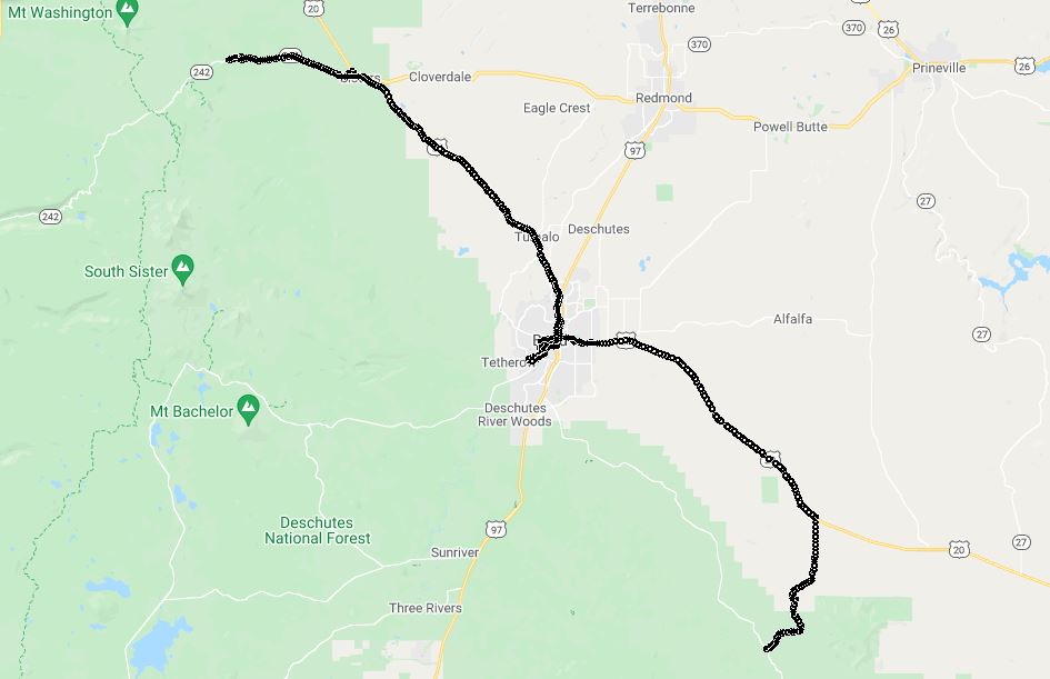 A playlist of all of the videos from the ride from April 28 thru May 01, 2021.
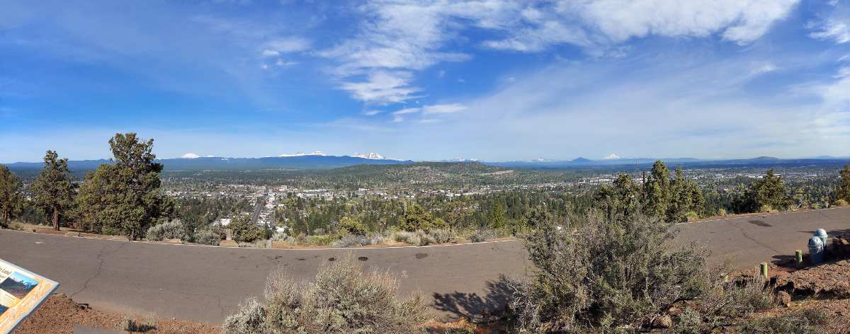
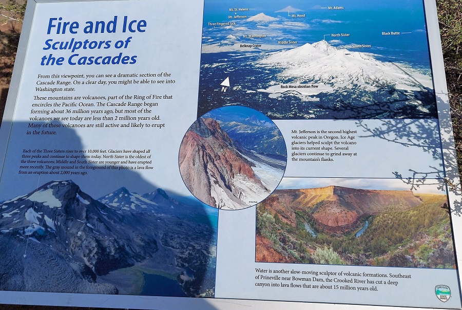
We started out the morning by going on a short hike to the top of Pilot Butte State Scenic Viewpoint. The hike is 2 miles and an elevation of 452 feet. What awaits you on a clear day is a view of Three Sisters, Mt. Jefferson, Black Butte and Mt. Hood (and others). The mountains that help form the Cascades, dormant and active volcanoes:
There is a large pedestal that shows which direction all of the mountains are, this is ROUGHLY aligned with the above mountains:
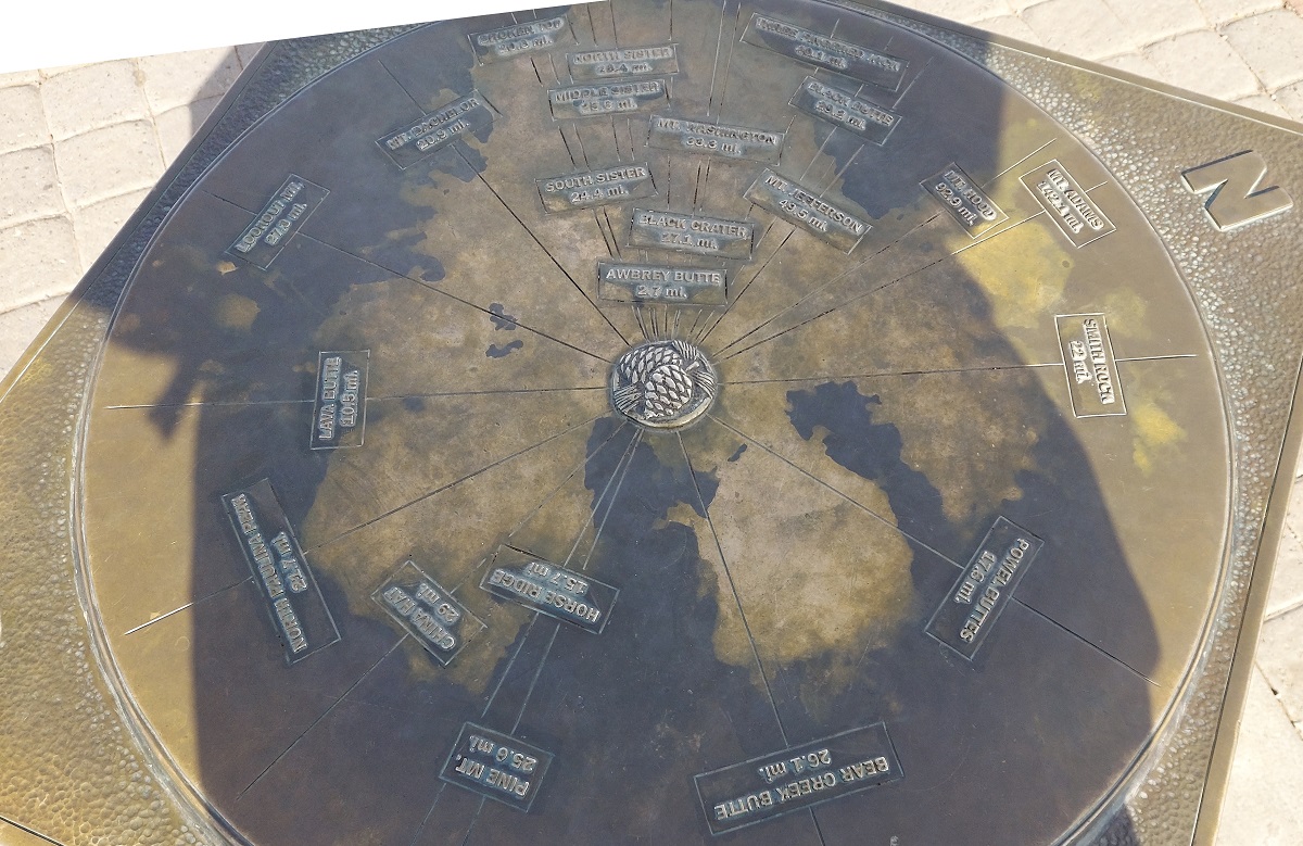
And a description of the vocanoes in the area:
At Pilot Butte park we saw a placard that described how the Newberry National Volcanic Monument has twin caldera's that were now lakes. We decided to visit the park via NF-25 (National Forest Road) as this video shows. The road up until it became dirt / gravel was actually VERY well kept up, but (lesson learned) should have looked a little closer. That road takes you into a network of roads for Off-Highway Vehicle's (OHV).Turned around and went back to consider other options.
After going to Newberry Monument we went to Sisters Oregon to have lunch and to go down McKenzie Highway. Another dead end, again I should have looked up the road. While it was ALSO a nice drive, as you can see from this video, I could have seen McKenzie Highway (OR 242) is planned for reopening on June 21, 2021. When you get to the gates on OR 242, a few miles down the road you get to turn around.
Lessons learned, even in late May roads can still be closed for cleanup / snow removal.
From there back to lodgings in Bend, OR for dinner and the night.
Motorcycle Trip To Bend, Oregon
Any questions or comments send me e-mail
Username = "GandalfDDI"
E-Mail = "Outlook.Com"
Obviously to send me e-mail just put the preceding two together --> Username@E-Mail (this is to minimize the amount of SPAM I get thank you)
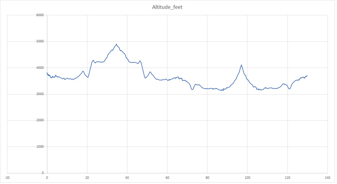
Elevations for this ride so you can predict how cold you may get or if you may need to take breaks for altitude changes. Y Axis is altitude feet, X Axis is Miles travelled: