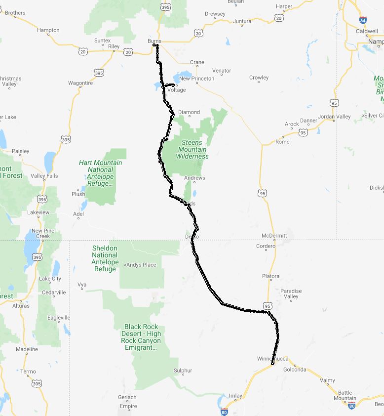
Motorcycle Trip Hines, OR to Winnemucca NV 2019-06-01
 A playlist of all of the videos from the ride from May 30 thru June 14th.
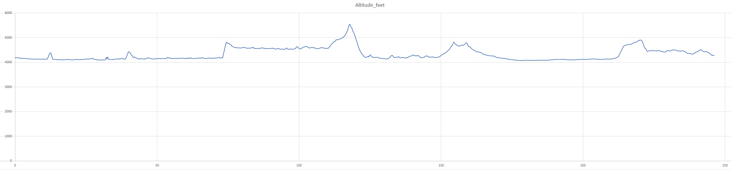
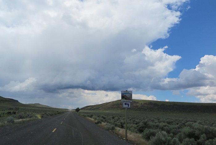
We started our ride from Hines OR riding almost directly south again across the high plains desert, about 4,000 feet (see below). We looked at the map and there were several roads south, this route looked more 'interesting' to me, Rose wasn't so sure about the empty roads and lack of towns but was persuaded to go on this adventure (the stop at the Nature Reserve may have helped). It ended up being a nice adventure :-).
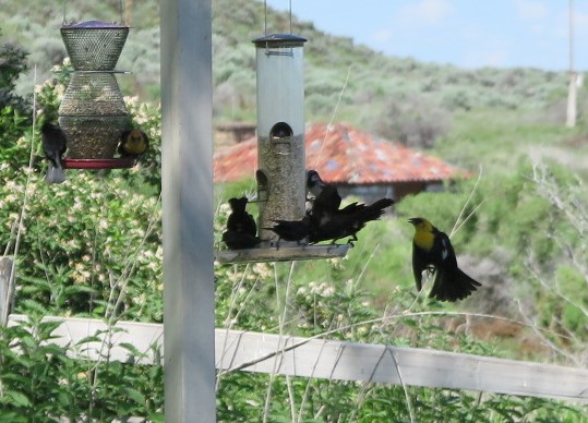
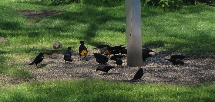
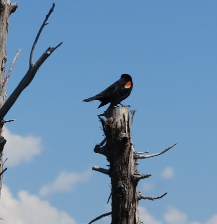
Stopped at the Malheur National Wildlife Refuge (and got another pin to put on my jacket :-)):
Yellow-headed Blackbird and Red-winged blackbird
We continued down Highway 205, clear sky. During the 15 minute video of the ride you see 4 vehicles on the road. That is part of the beauty of these roads, wide open spaces.
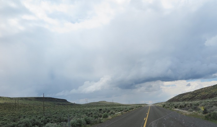
Down the road we went, in a bit we were ready for a break, gas, something to eat and The Fields Station Oregon was about the only place marked on the map. As we rode closer off to the side of the road I saw a plane, I was puzzled not knowing why someone would park a plane on the side of the road. I was surprised as we went past when I saw the control surfaces moving. As we pulled into The Field Station I saw in this video Planes, Motorcycles and Cars, all using the same roadway. The planes use the highway for takeoff, a taxiway or landing strip (from chosstronaut) but usually go down to the desert Airstrip. What could go wrong :-) ... In the end everybody cooperated and it was a beautiful menagerie.
We stopped, got gas and an EXCELLENT milkshake.
Motorcycle Trip To The Moab
Any questions or comments send me e-mail
Username = "GandalfDDI"
E-Mail = "Outlook.Com"
Obviously to send me e-mail just put the preceding two together --> Username@E-Mail (this is to minimize the amount of SPAM I get thank you)
Elevations for this ride so you can predict how cold you may get or if you may need to take breaks for altitude changes. Y Axis is altitude feet, X Axis is Miles travelled: