Visit To Arches National Park and Hiking Devils Garden Trail 2019-06-06
 A playlist of all of the videos from the ride from May 30 thru June 14th.
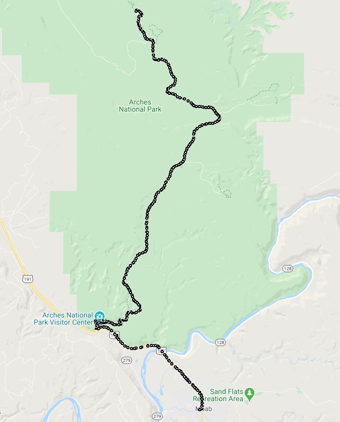
We stayed in Moab, UT which is VERY close to Arches National Park. When visiting Arches get an EARLY start to get in the gate as the line grows quickly. There is a camera you can look at to see how long the line is. The National Park Service maintains a 'Plan Your Visit' webpage, PLEASE read this before you start your trip.
The drive to Devils Garden Trail is, of course, a scenic drive as this video shows. As with all tourist areas relaxed riding is a requirement. IF you actually get to ride at the speed limit you are fortunate. IN GENERAL you will need to WATCH FOR OTHER DRIVERS. They are paying more attention to where they want to go and the scenery / animals rather than where they are. AND THEY WILL BE GOING SLOWLY! In the National Parks there is a good chance that the visitor are from a foreign country. Relax, take a breath and just find your Zen.
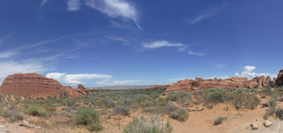
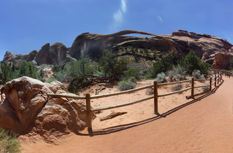
Arches National Park Devils Garden, the vista opens up in front of you, a short video of the lsndscape and a picture:
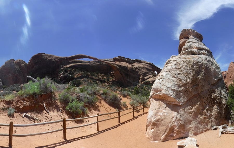
Arches National Park Landscape Arch, this is an easy walk down the Devils Garden trail:
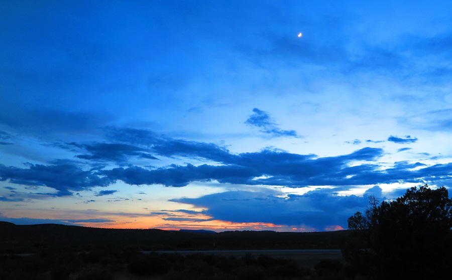
After we hiked we went back to Moab for Lunch. That evening we went and watched the sun set at Panorama Point (I didn't turn the GPS on for this part of the ride so no track on the map). On the drive out to Panorama Point in this video clip you can see that the light is getting dimmer. You HAVE to watch out for critters and for sharp turns. When we went home later it got VERY dark when the sun goes down. AMAZINGLY dark. Had to be VERY careful on the ride home.
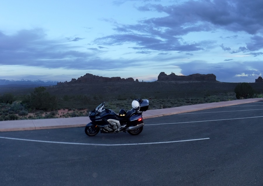
From there we went on to Moab to our hotel.
Motorcycle Trip To The Moab
Any questions or comments send me e-mail
Username = "GandalfDDI"
E-Mail = "Outlook.Com"
Obviously to send me e-mail just put the preceding two together --> Username@E-Mail (this is to minimize the amount of SPAM I get thank you)
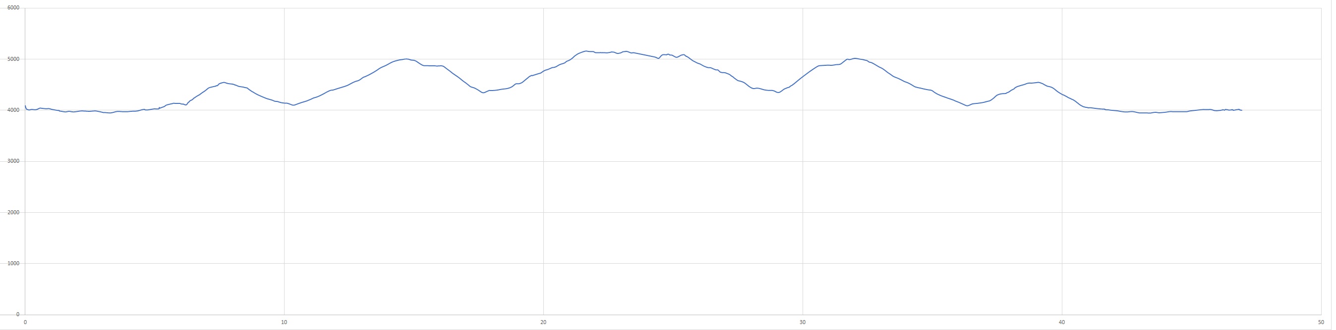
Elevations for this ride so you can predict how cold you may get or if you may need to take breaks for altitude changes. Y Axis is altitude feet, X Axis is Miles travelled: