Motorcycle Trip to Priest Lake, Idaho and Home 2020-06-20 to 2020-06-24
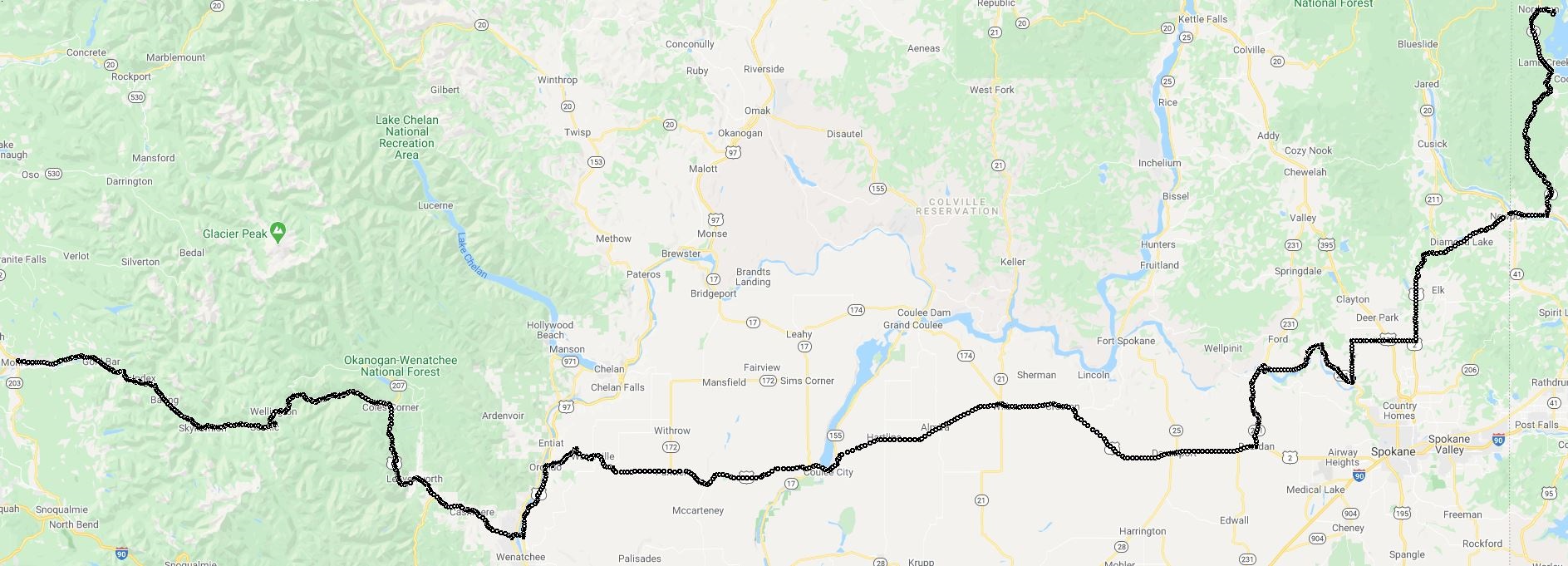 A map of the Route we took from Monroe to Priest Lake, ID. Total distance was about 800 miles. Short vacation to celebrate Rose's Daughter's birthday.
We stayed at Elkins Resort, a nice resort with all the amenities.
The five day trip
The first day
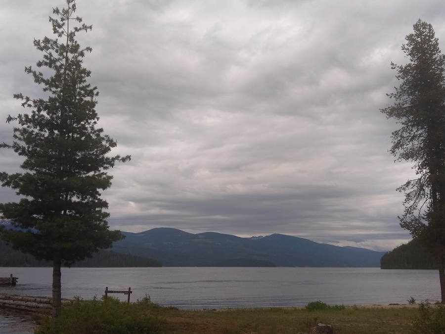
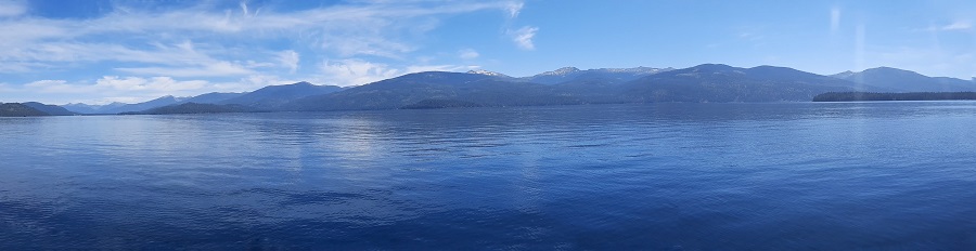
Drove to Priest Lake Idaho from Monroe, WA. Nice day across U.S. Route 2 starting our ride on Stevens Pass. I always stop to stretch at the rest stop on the other side of the pass (better stop, it is your only chance for a while :-) ...). Beautiful ride along the river down into Leavenworth. from there we went east. You will pass MANY fruit stands, so stop if you want a snack or good fresh fruit / vegetables. We usually stop at Smallwoods Harvest. Continuing East travelled we across one of the 'Lonely Highways' in the state. The route was very plesant, the weather nice. About the only 'twisties' were around the Spokane River in the middle of the ride. We finally arrived at the resort, unpacked and enjoyed a view of the lake:
The Second day
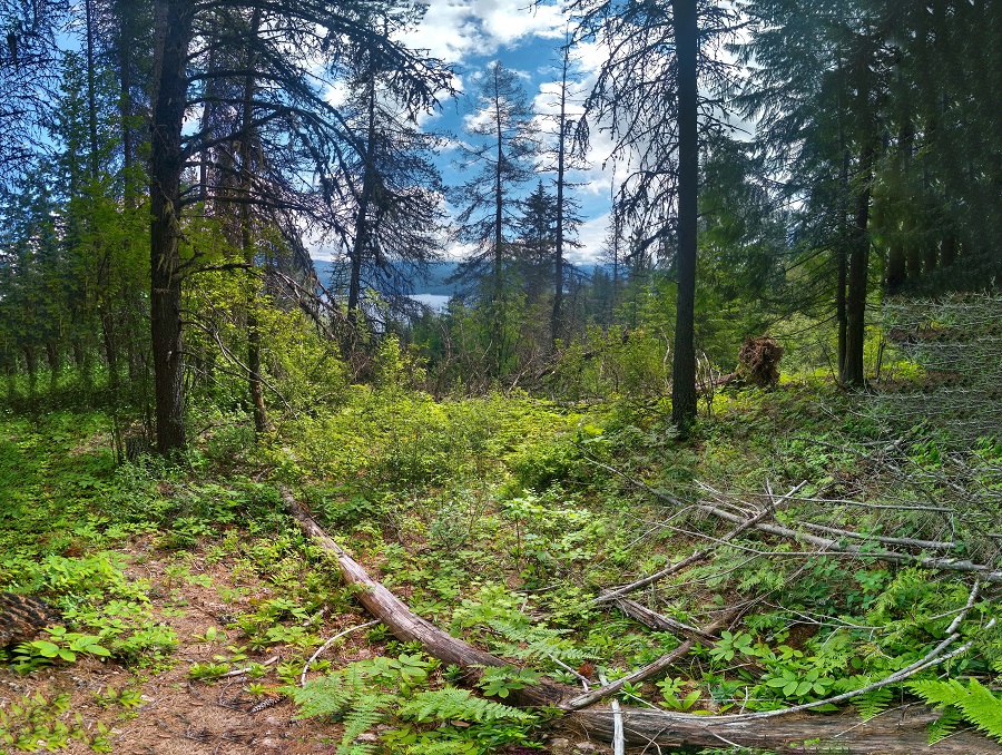
We decided to hike Reeder Bay Trail, a nice short 4.2 mile less than 1000 ft height gain trail that ends up back at the resort. You take a vehicle to one end of the trail, leave another at the resort and then go back and pick up the first vehicle.
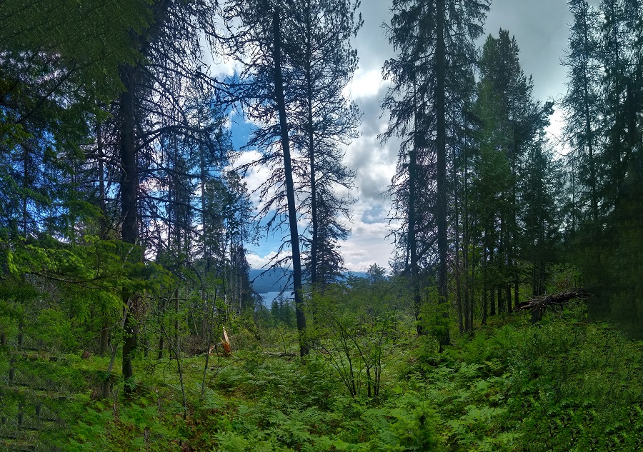
Anothe nice day, beautiful views looking down on the lake:
But as we walked along we heard trees in the distance cracking and tumbling down, small trees across the trail but still nice views:
But when we walked about halfway we came across several trees that blocked the trail. We would have had to scramble through high brush to pass and we did not know how many more fallen trees that we would have to cross over to finish. We decided not to test our luck and went back to the car / home. We did see a few deer along the trail. Also, check for ticks when you get back home. Just sayin'.
The Third day
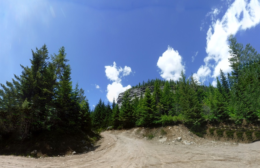
We had been told of a fantastic hike called 'Lion's Head Creek Trail'. When you get there you see why they named it that:
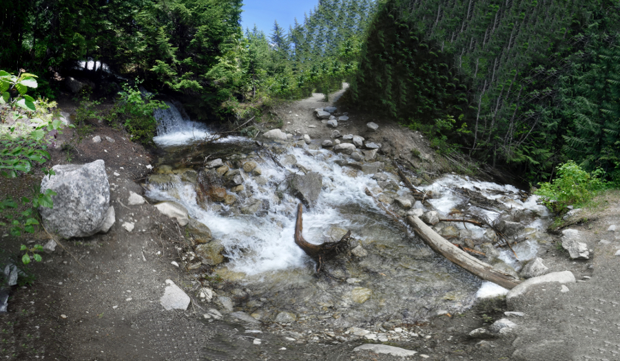
Be SURE to read the comments on the above link that describes the trail. When we got to the first crossing you can see it was a rather narrow log that didn't eve cross the creek, and just a smattering of rocks. Deciding that being drentched or worse being hurt by a fall we decided to walk back. As you can see by the comments in late June there is still DEEP water to cross because of snow melt further on down the trail. When water is colder than 70 Deg F and you jump in you can reflexively suck water into your lungs and drown:
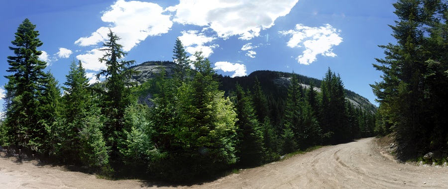
Picture of the other side of the road looking away from Lions Head Rock. Amazingly gorgeous:
The Fourth day
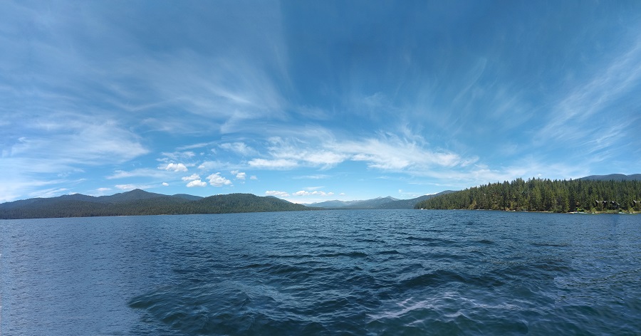
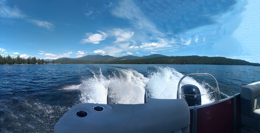
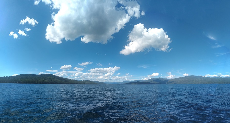
We decided to rent a boat to take out on the lake. Nice sunny day out on the water for a spin. Sunshine and a few clouds. We stopped at a beach on the shore and on a beach on one of the islands, you can camp on the islands but it is pack it in, pack it out. No real amenities.
The fifth day
Travelling back home. We decided to take the fastest path home which was the superslab. I-90. Lots of trucks. Various things dropping off those trucks. You have to be careful and watch the wind. You also need to pay attention to the trucks. It can get VERY gusty and those flat trucks get blown around as much as you do. But at least you can go 70 miles per hour (or so). Finally over I-90 through Snoqualmie Pass, this video starts before the wildlife overpass, past Keechelus Lake, nice snow capped peaks off in the distance, through the pass (and its twisties) and down the other side a few miles. From there we went home.
Motorcycle Trips
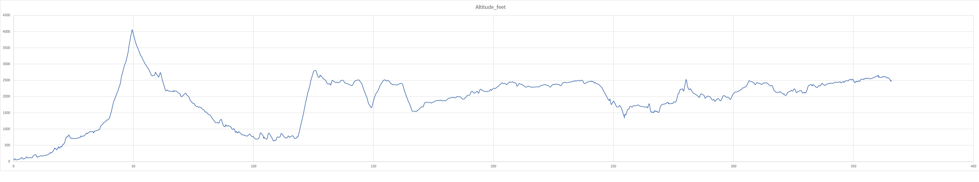
Elevations for this ride so you can predict how cold you may get. Y Axis is altitude feet, X Axis is Miles travelled:
Any questions or comments send me e-mail
Username = "GandalfDDI"
E-Mail = "Outlook.Com"
Obviously to send me e-mail just put the preceding two together --> Username@E-Mail (this is to minimize the amount of SPAM I get thank you)