Motorcycle Trip from Stites, Idaho to Belgrade Montana August 5, 2020
 A playlist of all of the videos from the ride from August 4 thru August 13th.
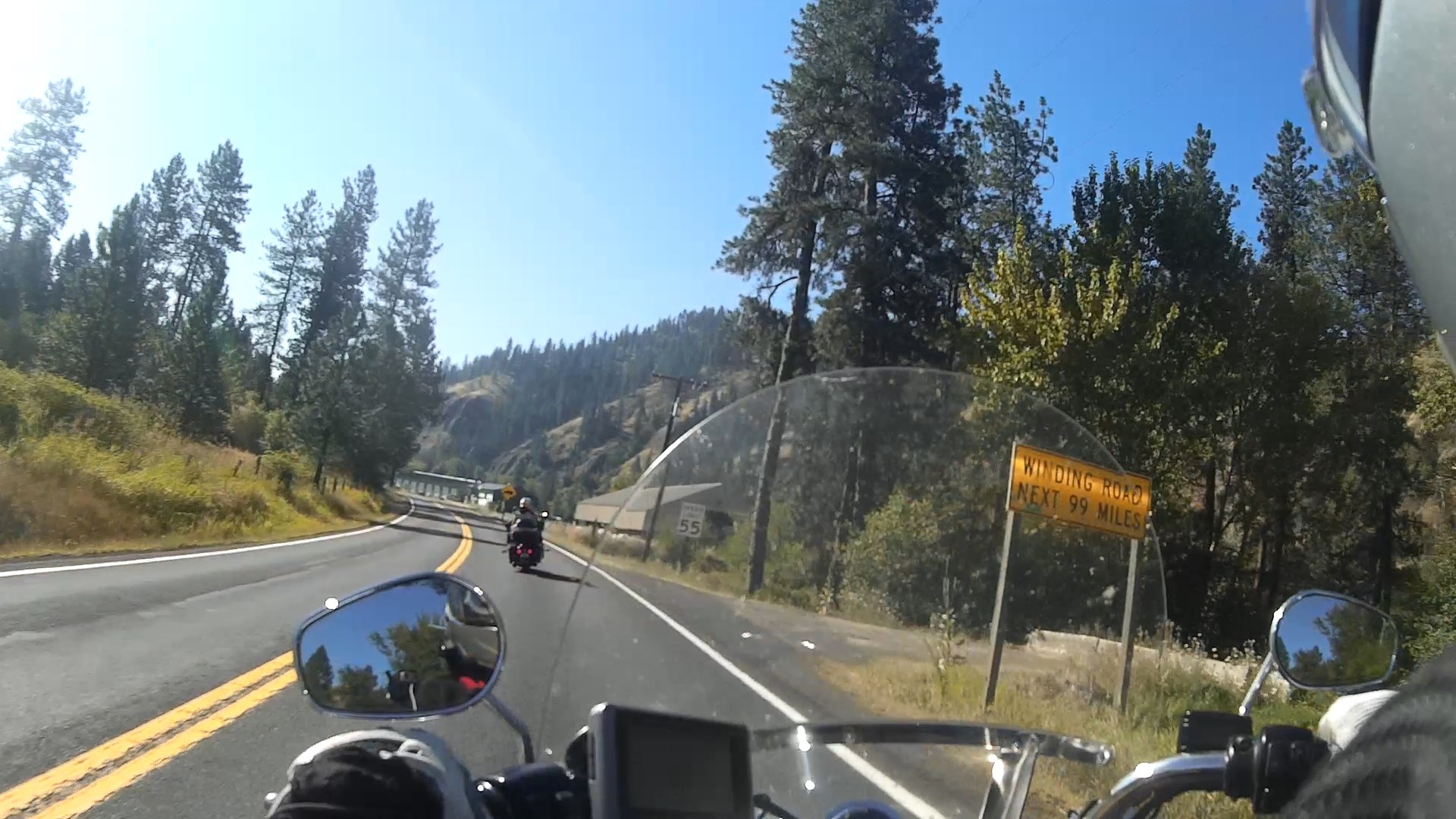
As soon as we got on the road the 99 miles of curves started, the sign is at about Mile Marker 75 on Highway 12 going east shortly after you leave Kooskia Idaho
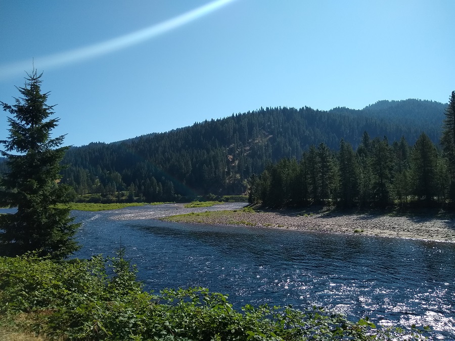
We stopped for a scenic view where the Selway River and Middle Fork Clearwater River meet, amazing:
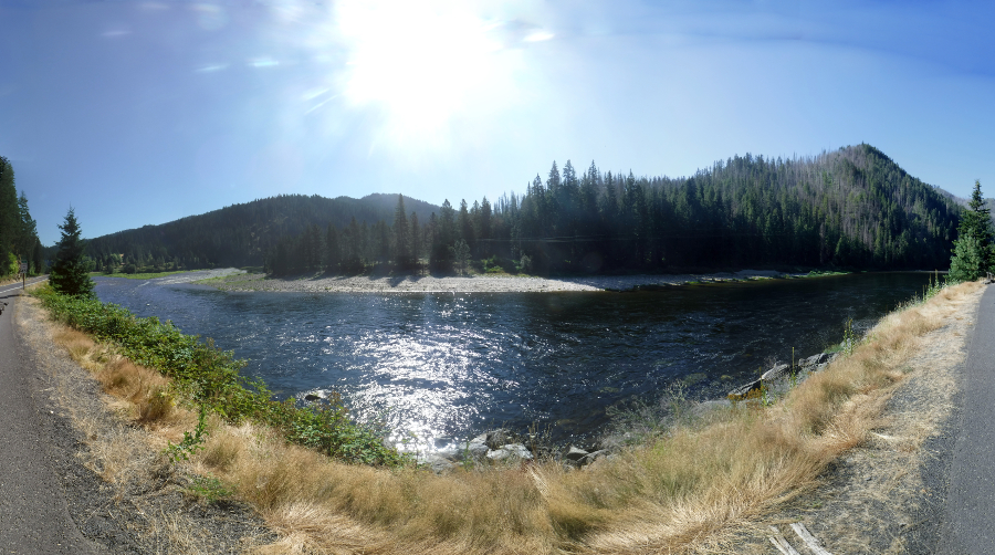
And a shot of the confluence of the two rivers:
A video as we rode along Lolo Pass and the Lochsa River, amazing part of the 99 miles of smiles and curves :-).
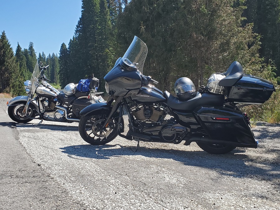
The bikes parked on the side of the Lochsa River:
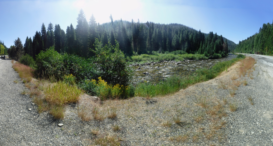
The views were perfect all along the route, we had to stop again for more views of the Lochsa River:
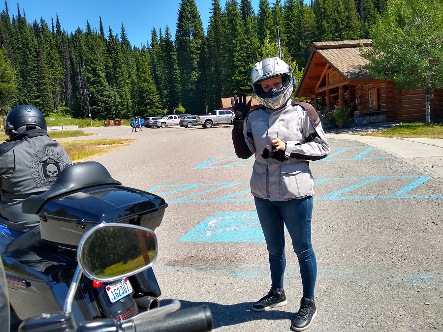
At the top of Lolo Pass right at the Idaho / Montana boarder is the Lolo Pass Visitor Center. Time to stop, take a break and shop for a pin for my coat. And take more pictures. Ryan waving to us all geared up:
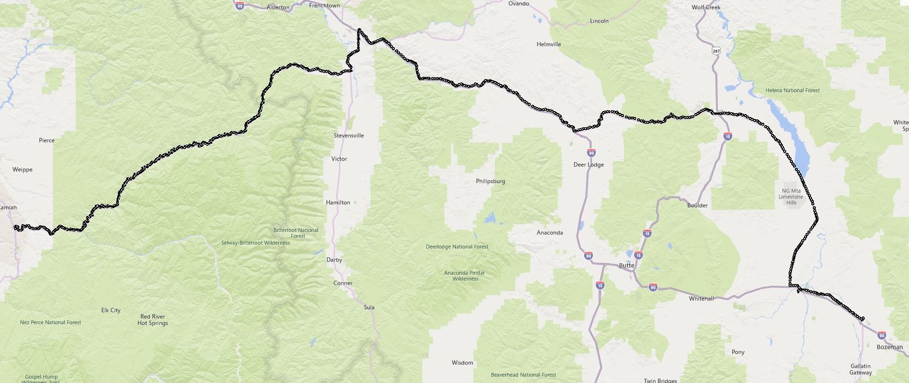
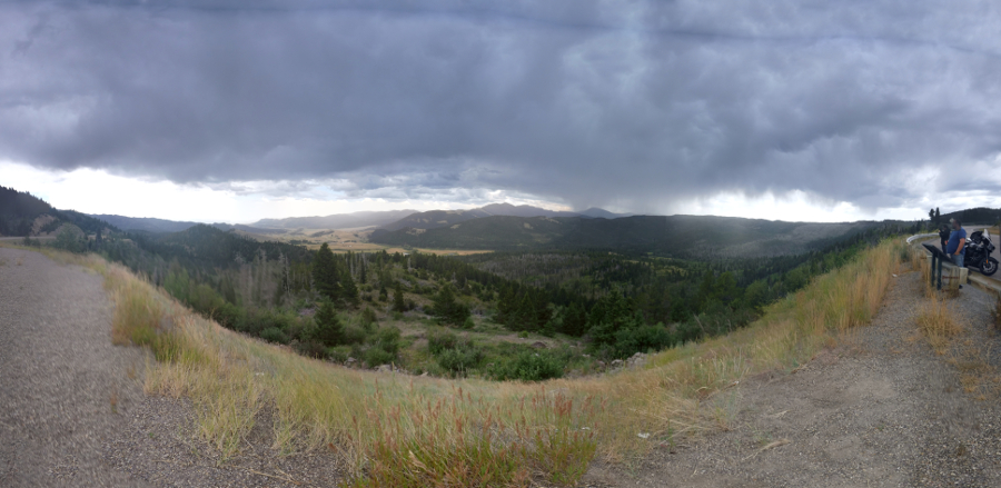
Many hours later after lunch we rode through MacDonald's Pass near Helena. Vast Panorama, Ryan and Cody off to the side:
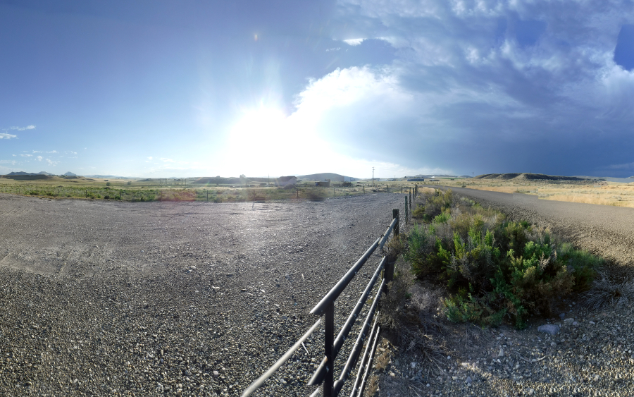
The HD Ride Planner decided that we had enough nice roads and decided to route us to Route 287. We passed through Toston MT and we went offroading as you can see in this video. Us on our heavy road bikes on dirt and loose gravel. Pick a track that has the least amount of gravel, keep off the brake, smooth shifting and smooth acceleration / deceleration. Just part of the experience.
And finally out to the wide flat high plains (4,000 / 5,000 feet elevation) of the wide wide west close to the Missouri Headwaters / Three Forks:
From there we Belgrade for our lodgings for the night.
Motorcycle Trip To Sturgis
Any questions or comments send me e-mail
Username = "GandalfDDI"
E-Mail = "Outlook.Com"
Obviously to send me e-mail just put the preceding two together --> Username@E-Mail (this is to minimize the amount of SPAM I get thank you)
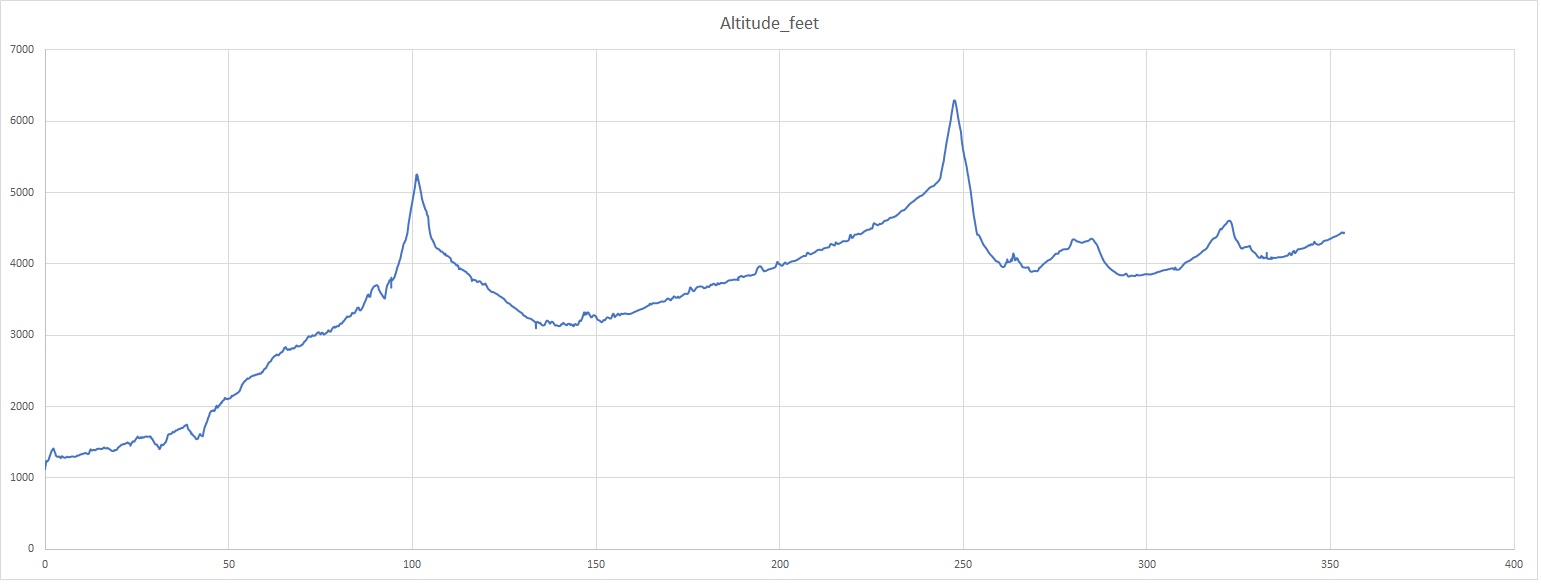
Elevations for this ride so you can predict how cold you may get or if you may need to take breaks for altitude changes. Y Axis is altitude feet, X Axis is Miles travelled: