Motorcycle Trip from Rapid City, SD to Cody, WY August 10, 2020
 A playlist of all of the videos from the ride from August 4 thru August 13th.
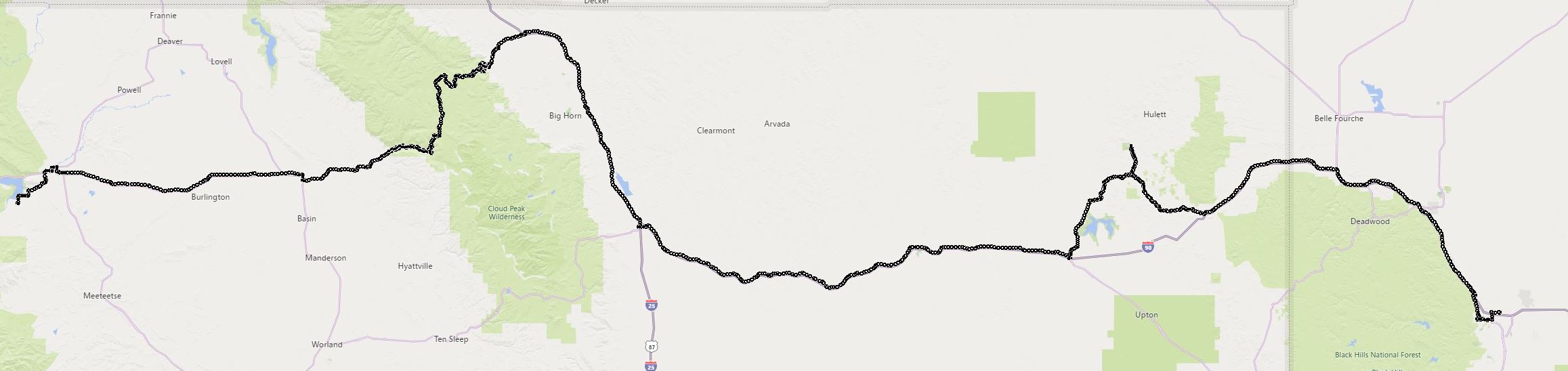
Home again home again Jig Jigitty Jig ... But not directly ;-) ... We had a somewhat circuitous route to get home. Ryan and Cody wanted to visit Yellowstone and I am always up for a visit there. I like that park.
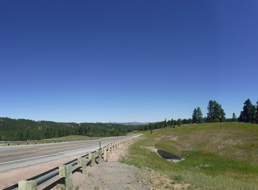
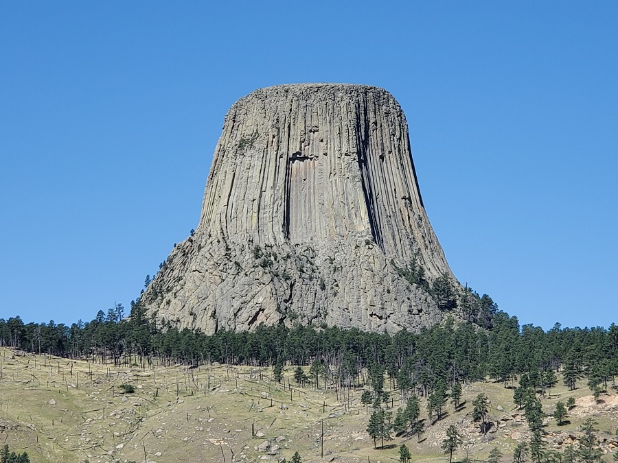
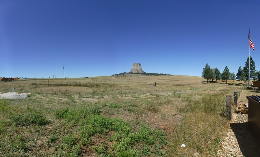
BUT FIRST ... The ever looming and classic Devil's tower, shown in all the brochures to Sturgis. A column of igneous rock that may have appeared when the softer sedimentary stone around it eroded away. No matter how you look at it it is amazing and massive. Approaching the monument from US Highway 14 WAAAAAY off in the distance in the center of the landscape:
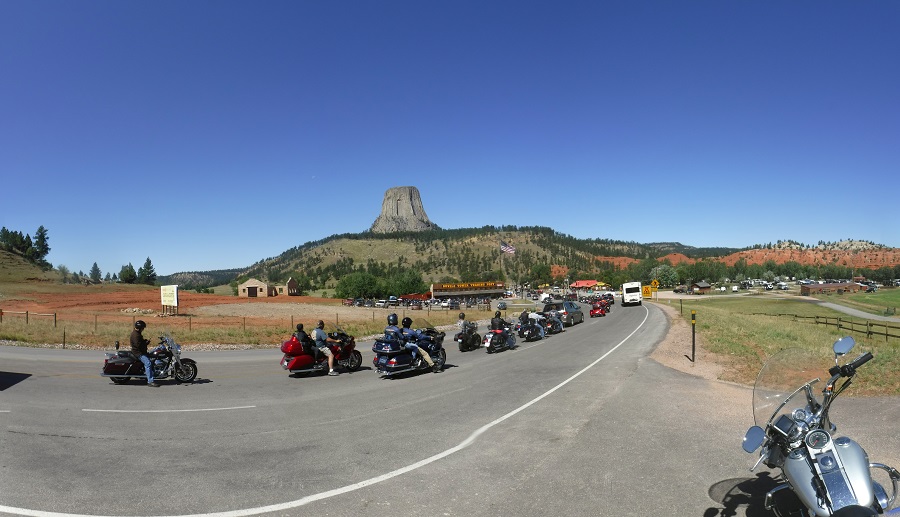
As you get closer the line of visitors gets long:
But it towers over the landscape enough so that you can easily see it without having to get close:
Even from the local General Store you get a good view:
A video as we rode on Highway 24 going to Devil's Tower, nice easy curvy road.
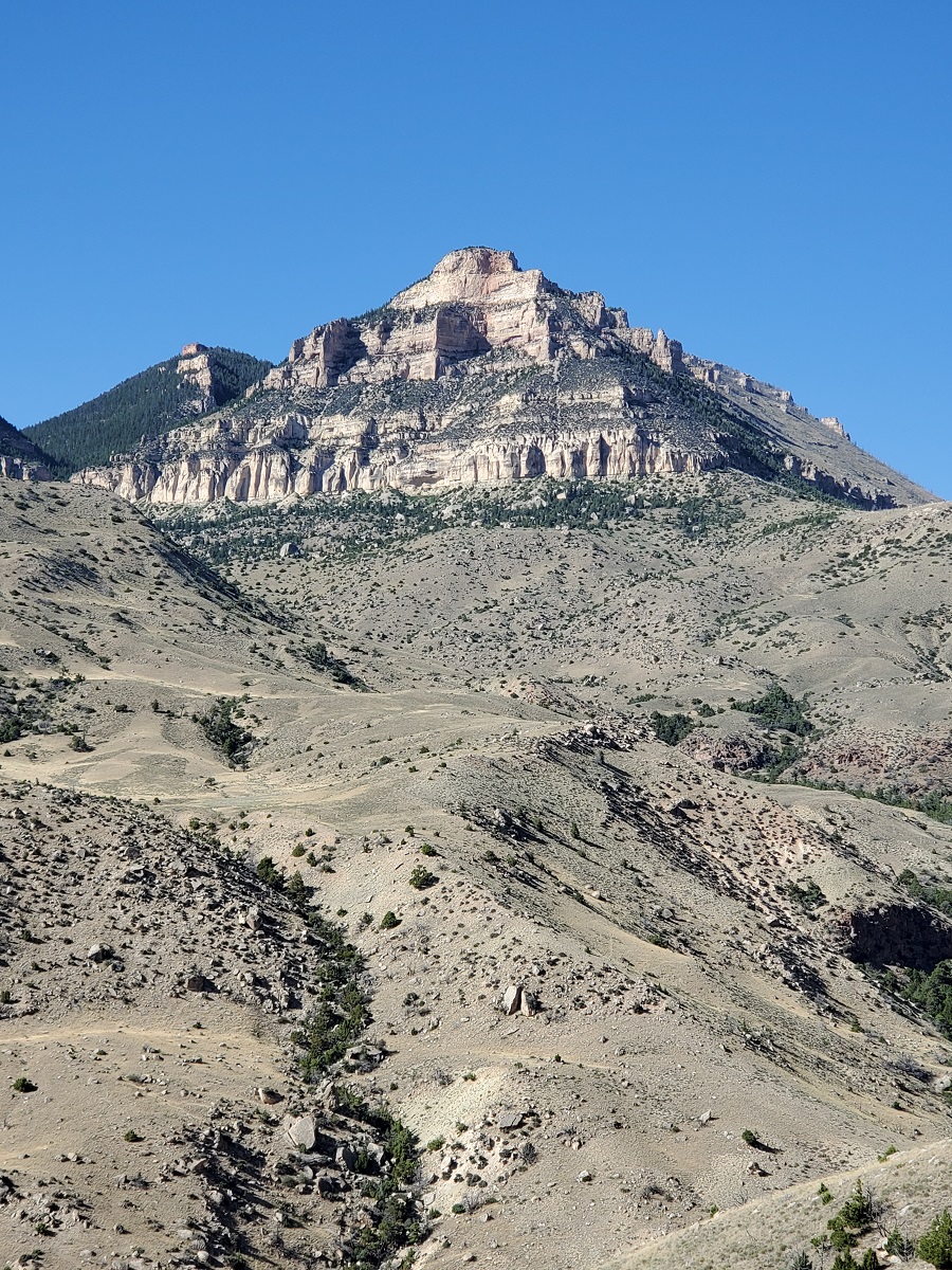
After the tower we continued west through Bighorn National Forest (home of the Joe Pickett series). I never get tired of riding through Bighorn:
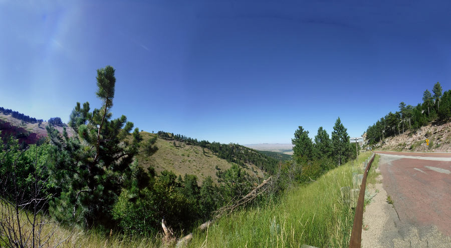
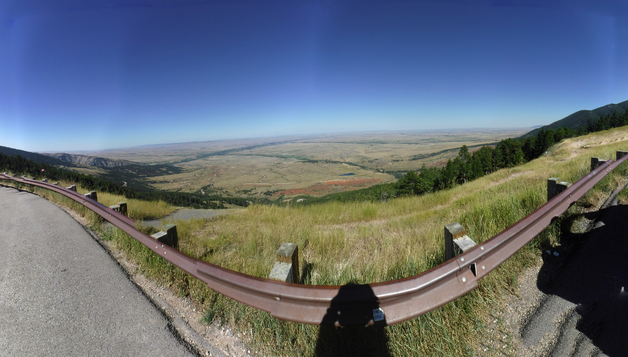
Looking down the valley in the middle of Bighorn:
Wide shot of the valley in the middle of Bighorn:
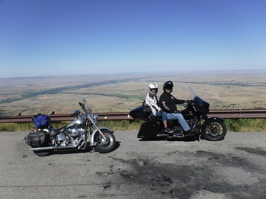
Our Bikes, ready to continue on the journey:
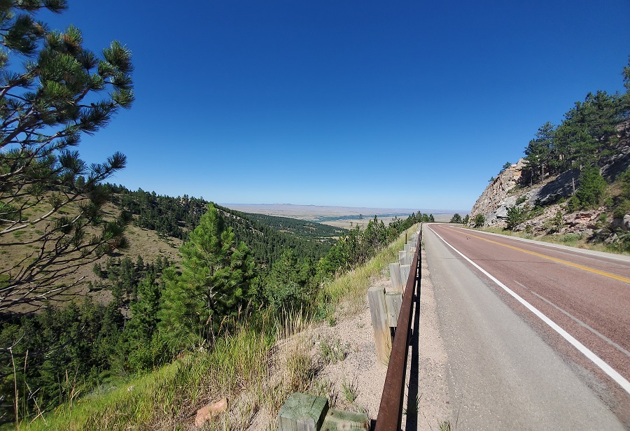
This is what the ride through the Bighorn National Forest is like. FANTASTIC curves :-) ...
Coming out of the mountains we stopped for a rest at the Beef Trail marker. Beautiful arid land:
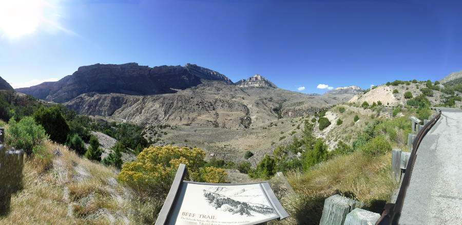
Looking up into the peaks at the Beef Trail:
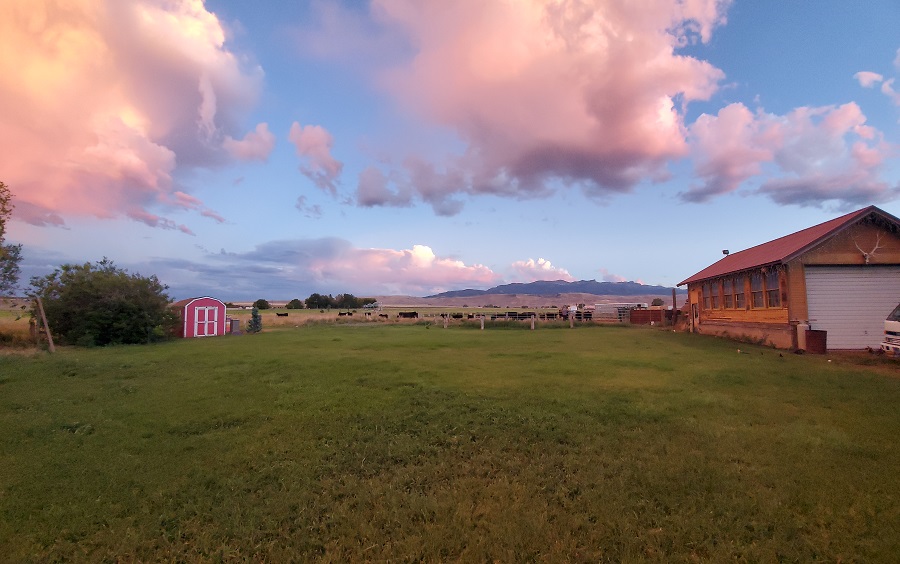
From there we went to Cody for our lodgings for the night, could not ask for a better view out the back door:
Motorcycle Trip To Sturgis
Any questions or comments send me e-mail
Username = "GandalfDDI"
E-Mail = "Outlook.Com"
Obviously to send me e-mail just put the preceding two together --> Username@E-Mail (this is to minimize the amount of SPAM I get thank you)
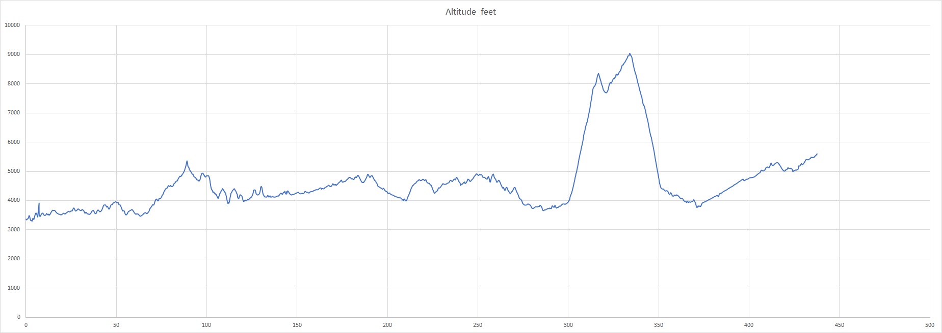
Elevations for this ride so you can predict how cold you may get or if you may need to take breaks for altitude changes. Y Axis is altitude feet, X Axis is Miles travelled: