A ride into the countryside then hiking around the Redwood Forest and the coast October 06, 2021
 A playlist of all of the videos from the ride from October 2 thru October 8, 2021.
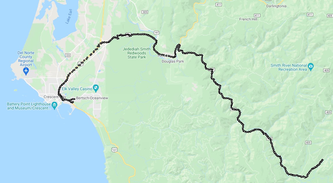
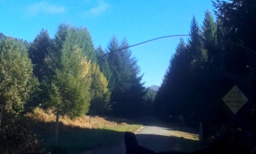
First part of the day was a riding the twisties into and back out of the hills east of Crescent City as far as the South Fork road would take us along the South Fork River as you can see in this video. Once it became Big Flat Road we had to turn around at the 'End Of County Maintained Road':
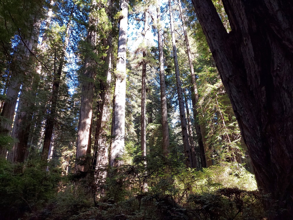
For the afternoon decided to meet up with a friend who lived nearby and at the Redwood National and State Parks, hiking in amongst the trees again. A picture to show some perspective of the size of the trees:
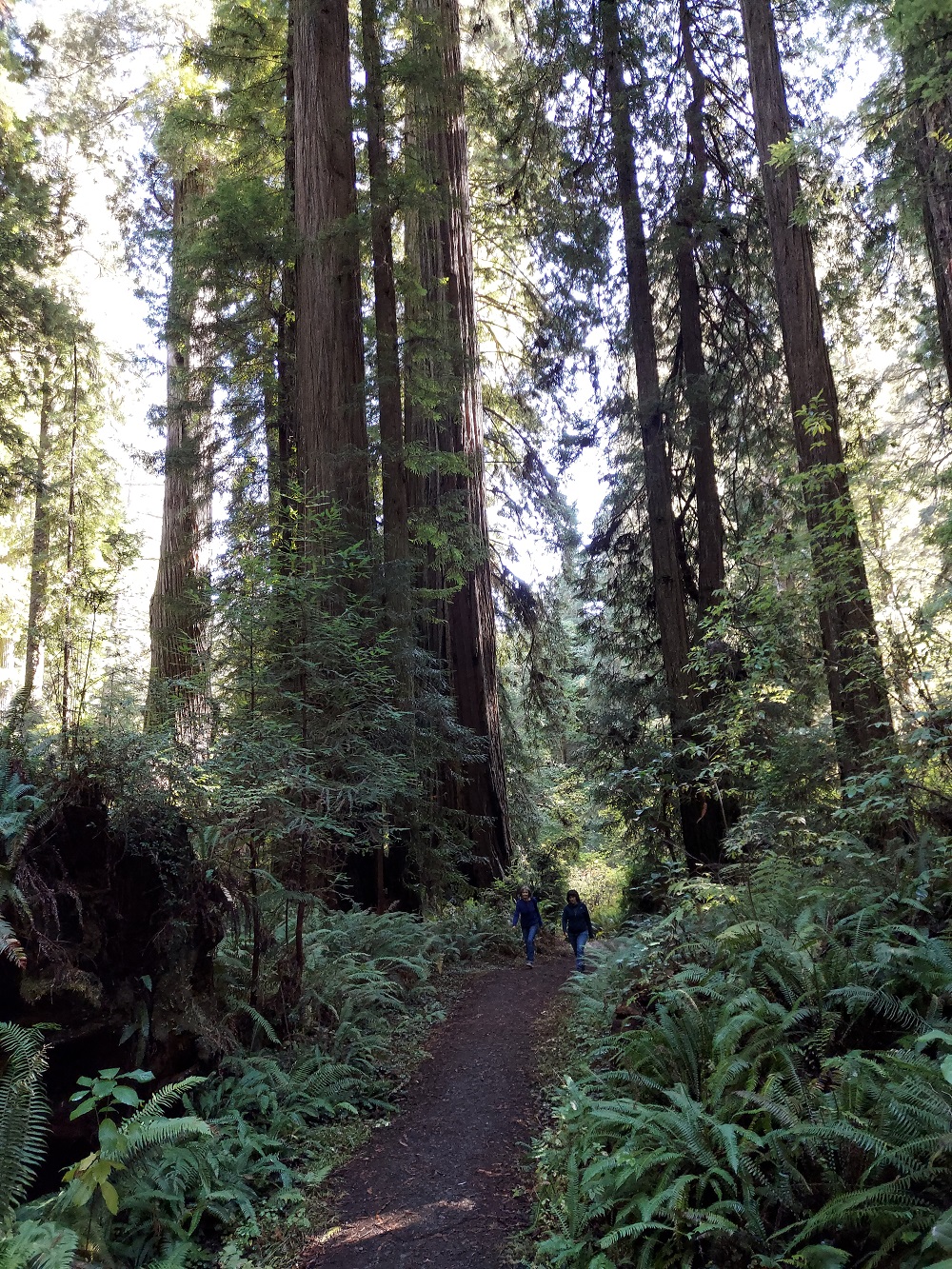
And more of the forest:
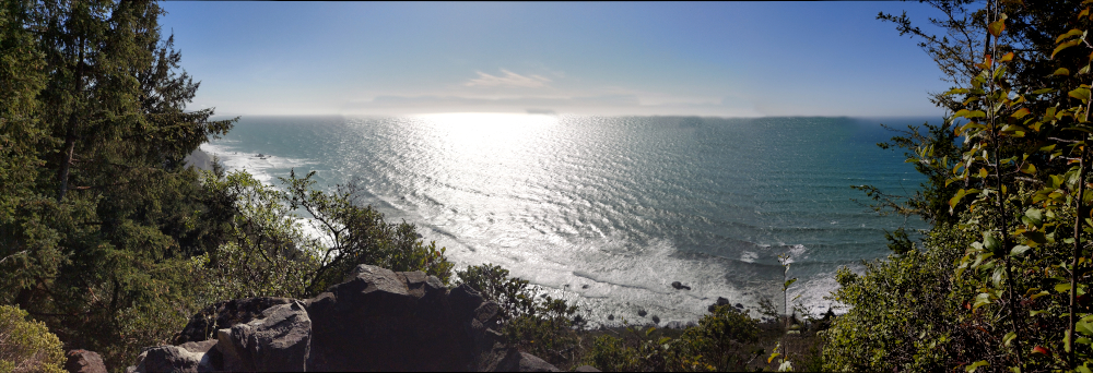
We then went on a cliffside / beach hike along Alder Camp Road which took us to the 'Golden Sands' outlook, with a plaque that read:
Redwood National and State Parks Golden Sands
Over eons, rain and storm waves have pounded the bluffs and beach here, exposing quantities of gold. In 1850, prospectors who were headed inland to known mining areas happened upon gold in the dark sands. Word spread quickly in San Francisco, setting off a rush of people to Gold Bluffs in search of wealth.
Early attempts to collect "gold as fine as flour" were not productive, so discouraged miners moved on to local communities in Crescent City and Eureka. Eventually, the Union Gold Bluffs Mining Company built flumes on the bluffs above the beach at Major Creek and Espa Lagoon. At the end of the flume was a wash house where mercury-covered copper plates trapped the "flour" gold. Successful operations ran here into the early 1900s.
From there back to Crescent City for the night.
Motorcycle Trip From Washington down Highway 101 to the Redwoods
Any questions or comments send me e-mail
Username = "GandalfDDI"
E-Mail = "Outlook.Com"
Obviously to send me e-mail just put the preceding two together --> Username@E-Mail (this is to minimize the amount of SPAM I get thank you)
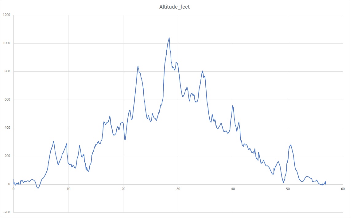
Elevations for this ride so you can predict how cold you may get or if you may need to take breaks for altitude changes. Y Axis is altitude feet, X Axis is Miles travelled: